

Is it just agriculture? Not airstrikes; On June 11th Washington Post posted an article, detailing information regards to potential impact sites in #Gaza from the recent conflict. Based on an openly available UN dataset.
washingtonpost.com
washingtonpost.com
unitar.org The UN data set is composed of analysis of VHR imagery from multiple sources. The dataset, for the most part aligned with the impacts I had begun mapping myself and showed openly in several tweets.
google.com
google.com
One thing was of interest around the UN dataset was that there was a significant amount of impacts noted in the Khan Younis/Khuza’a area, heavily so in the farming area. Noted by this image in The Washington Post.

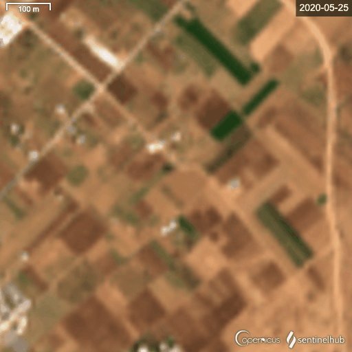
As seen in the imagery courtesy of @sentinel_hub / Sentinel-2 these marks can be seen on the image, “arriving” between the images of the 20th and 25th

This can also, be seen on the 2020 imagery too.
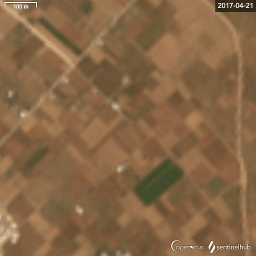
And another example of these marks in the same area from 2017.
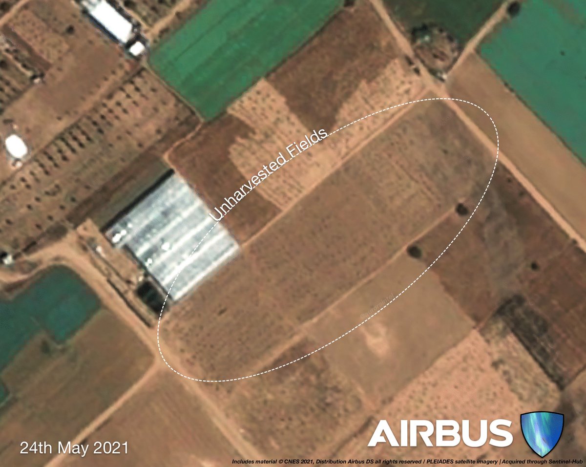
So what are we actually looking at? Well, it doesn’t appear these are impacts, from either the factions or the IDF, but actually, haystacks. Similar markings can be seen in agriculture around the world, here is an example from Myanmar.

High Resolution imagery from #Gaza on the 24th and 25th May 2021 shows the haystacks being formed and the changes can be observed within the fields themselves.
This isn’t the first time this issue has arisen either. In Nov. 2020 @Nrg8000 raised this in Tigray. Thread included.
Additional imagery from @planet showing the markings on June 3rd 2017 for comparison against the Sentinel imagery above.

Loading suggestions...